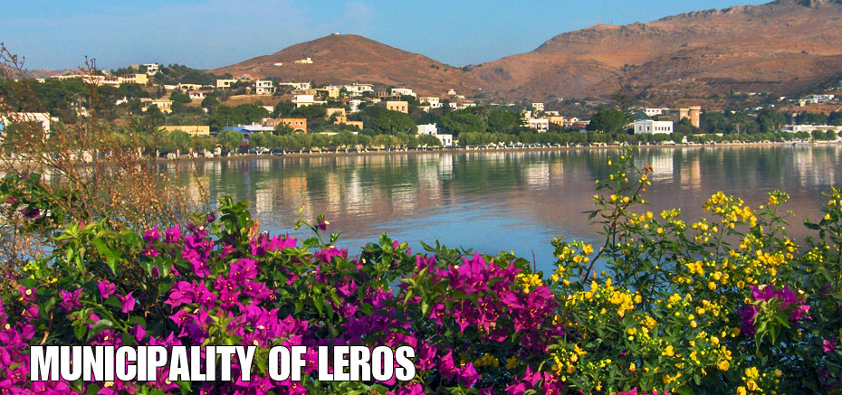
The smaller island clusters that surround Leros combined with its geographical complexity contribute to island’s special, natural beauty The Mediterranean flora and fauna with its bushy vegetation and agricultural cultivations accompanied by rows of eucalyptus and pine trees and the rocky high-lands, supplement the picturesque, natural environment.
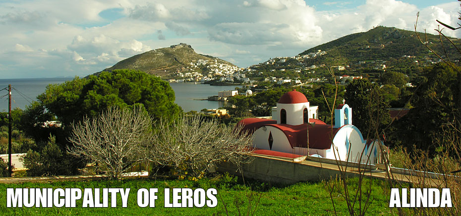
The extensive folds in the landscape and the intensity of the horizontal carvings into the mountain crevices have created deep and secluded bays providing protection and ideal, secure conditions for mooring yachts. The Leros terrain is hilly with its highest peaks being at Skoumbarda at an altitude of 328 metres. The ruined buildings of the Italian military installations can be seen throughout the surrounding area. Also, at an altitude of 314 metres, Klidi, which is presently a military zone, can be found.
Leros is located in the south-eastern area of the Aegean Sea between the islands of Kalymnos, Patmos and Leipsi. The island is relatively long-shaped with a NW – SE positioning. However, three separate, longer parts of the island are distinguished in a SW _ SE direction.
- The north part includes areas from the northest point of the island to its axis shaped by Gourna and Alinta Bays.
- The central part includes the areas between the island’s axis formed by the Bays of Gourna and Alinta as well as Lakki and Panteli Bays.
- The south part includes all the areas south of the island’s axis formed by Lakki and Panteli Bays.
- The above mentioned areas are connected by two passages located between the Gourna-Alinta Bays and the Lakki-Panteli Bays.
The main peaks in the north section are Vaya at 264 metres, Klidi at 321 metres, Viglia at 234 metres, Misorachido at 284 metres, Markelos at 247 metres, Kato Tsochia and Memigaria. That specific section is divided into two sub-sections: the eastern and the western one.
In the eastern sub-division at Vagia, Klidi and Viglia, the terrain is quite extreme, with steep slopes, precipitous crests and abrupt coastlines with an extension towards the Bay of Blefouti. This is due to the area being most exclusively made up of carbonic rock formations which cannot easily be broken-up.
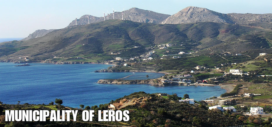
The western sub-division at Misorachido, Markelos, Kato Tsochia and Memigaria is primarily made-up of rocky mountain as well newly developed formations that seem to be more susceptible to being broken down. Subsequently, the formation of the western sub-division is softer than the one in the eastern area. Regardless, the western section has a relatively abrupt coastline, especially at the outskirts of Misorachido and Markelo. The hydrographic network, in all its north section, is in the primary state of development.
The main peaks of the central section are Patela at 250 metres, Kasteli at 148 metres and Vistilia at 143 metres along with some hilly elevations to the north do not exceed a height of 130 metres. The formation appears to be quite intense, especially throughout the mountain of Kasteli, which is made up of carbonic rock formations. The central hydrographic network is still at its premature stage. In general, it is primarily a forested area with rectangular shaped valleys throughout the region.
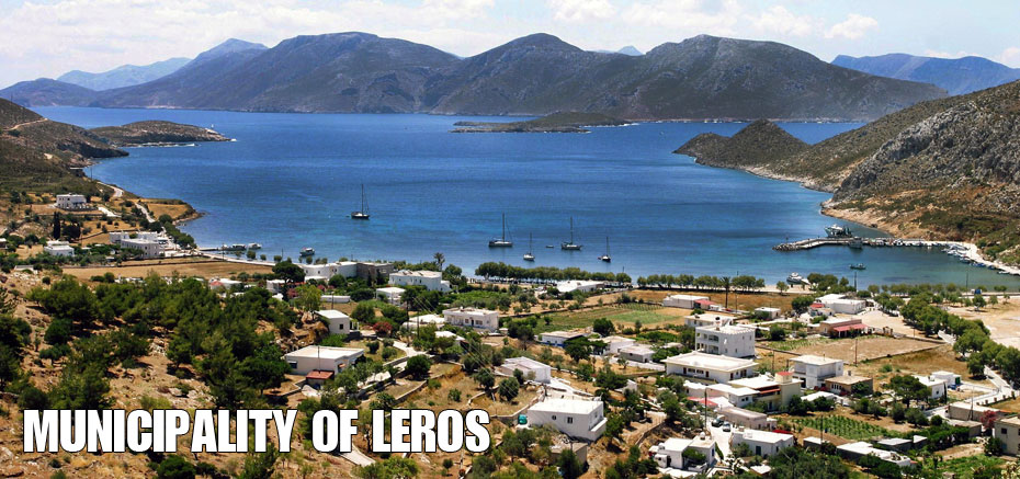
The south part of Leros presents the most intense landscape of the island because of its lithographic structure, consisting of carbonic rock formations. Another morphological characteristic of the south part is that it is separated into two sub-divisions by a natural fault line, which begins at the Bay of Xerokambos and ends at the Bay of Lakki.
The main peaks of the western sub-division are Fournos at 256 metres and Skoumbardos at 256 metres with many steep slopes, precipitous crests and abrupt coastlines. In the eastern sub-formation the highest peaks are Tourtouras at 265 metres Tsougounas at 221 metres and it depicts a similar landscape. The hydrographic network is at a preliminary stage. Rectangular shaped valleys can be seen throughout this graphic network.
Amongst the north, central and south parts of the island there are two fault lines which run along the axis of the Alinta-Gourna and Pandeli-Lakki Bays. The terrain here is flat, with slight slopes and low altitudes. In essence, these zones have been formed by the accumulation of fallen rock material from the surrounding areas.

")


")